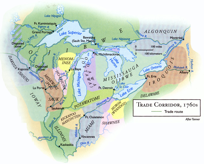
Native territories around the Great Lakes in the 1760's
Ottawa home territory between 1800-1840 and the Red River country where Ottawas under Chief Wakazoo traded between about 1800-1820. Political boundaries may have changed more once during this time, the base map is of the modern USA & Canada around Lake Superior. Ottawas also lived along the Maumee River in NW Ohio, not shown here.

Waganakizi, Old Wing Mission and Waukazooville, where Ottawas under Waukazoo lived from 1837-1849, on map of modern Michigan.
